Skip to content
  • Home Page
    • About
    • GIS Services
    • Posts
      • 2020 Photographs
      • 2019 Photographs
      • 2018 Photographs
  • Story Maps Home Page
    • First State National Historical Park
    • Wolf’s Hollow Story Map
    • Catoctin Mountain
    • Mahoning Valley
    • White Clay Creek, Pennsylvania
    • Valley Forge
    • Skippack Creek Evansburg St Park
    • Auburn Valley State Park
    • Kennett Township Open Space
    • Classic Story Maps
      • Appalachian Trail, Pennsylvania
      • Appalachian Trail Story Maryland
    • Lewes Historic District
    • Great Outdoors of South Texas
  • Preserve Collection
Hudson Geography
Hudson Geography
  • Home Page
    • About
    • GIS Services
    • Posts
      • 2020 Photographs
      • 2019 Photographs
      • 2018 Photographs
  • Story Maps Home Page
    • First State National Historical Park
    • Wolf’s Hollow Story Map
    • Catoctin Mountain
    • Mahoning Valley
    • White Clay Creek, Pennsylvania
    • Valley Forge
    • Skippack Creek Evansburg St Park
    • Auburn Valley State Park
    • Kennett Township Open Space
    • Classic Story Maps
      • Appalachian Trail, Pennsylvania
      • Appalachian Trail Story Maryland
    • Lewes Historic District
    • Great Outdoors of South Texas
  • Preserve Collection
Home » Posts » High Rock

High Rock

1 post

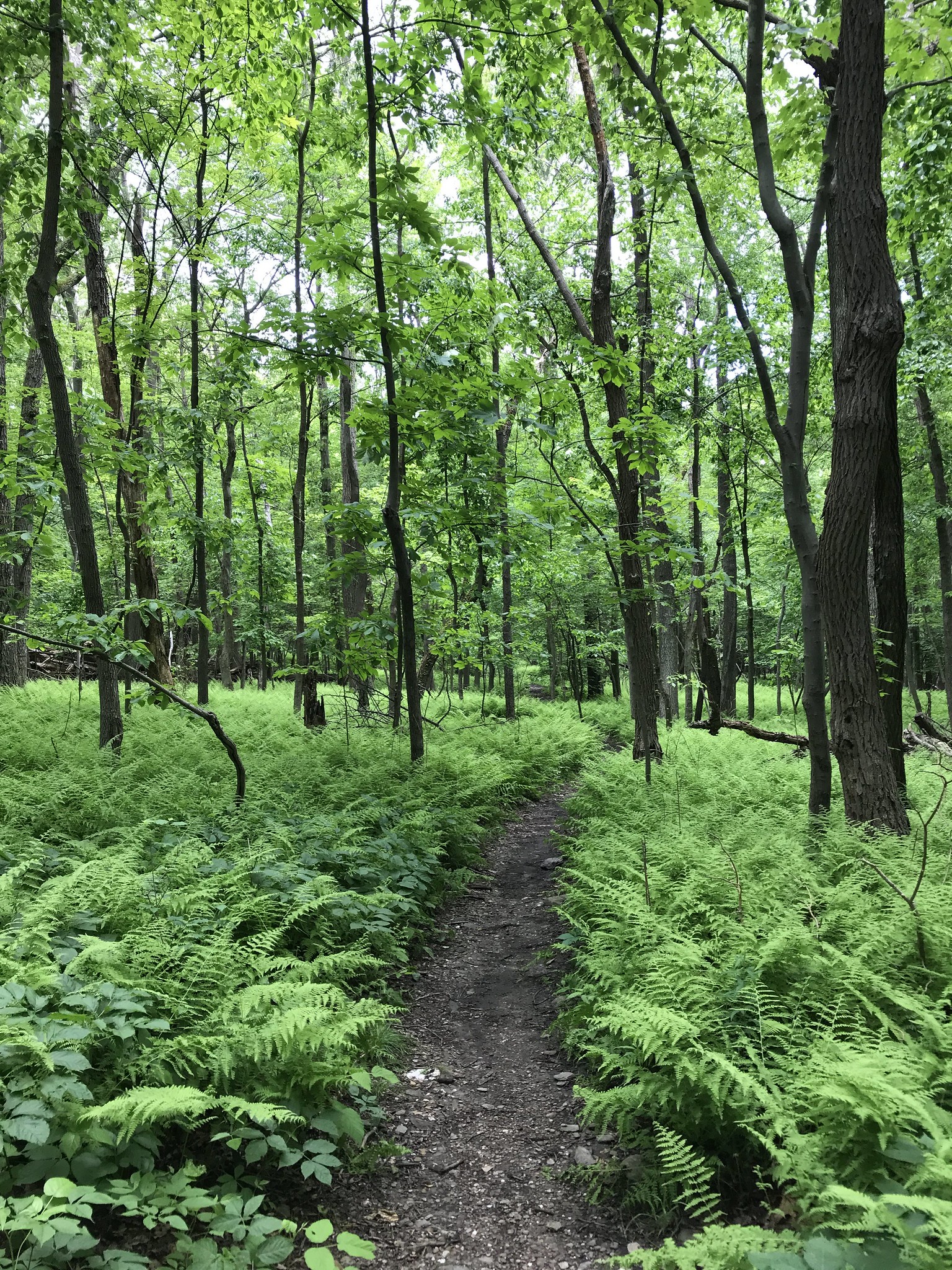
2019 Photographs

Appalachian Trail South Mountain Park Maryland

Share this:

  • Share
  • Share on Facebook (Opens in new window) Facebook
  • Appalachian Trail
  • High Rock
  • Maryland U.S.A.
  • Raven Rock
  • South Mountain State Park
by hudsongeography
Published June 9, 2019
Privacy & Cookies: This site uses cookies. By continuing to use this website, you agree to their use.

To find out more, including how to control cookies, see here: Cookie Policy
ArcGIS

Hudson Geography Organization Home Page

Hudson Geography Hub Site

Recent Posts
  • Wolf’s Hollow
  • Kellys Run
  • Welsh Mountain Preserve

© 2026 Hudson Geography – All rights reserved

– Powered by