
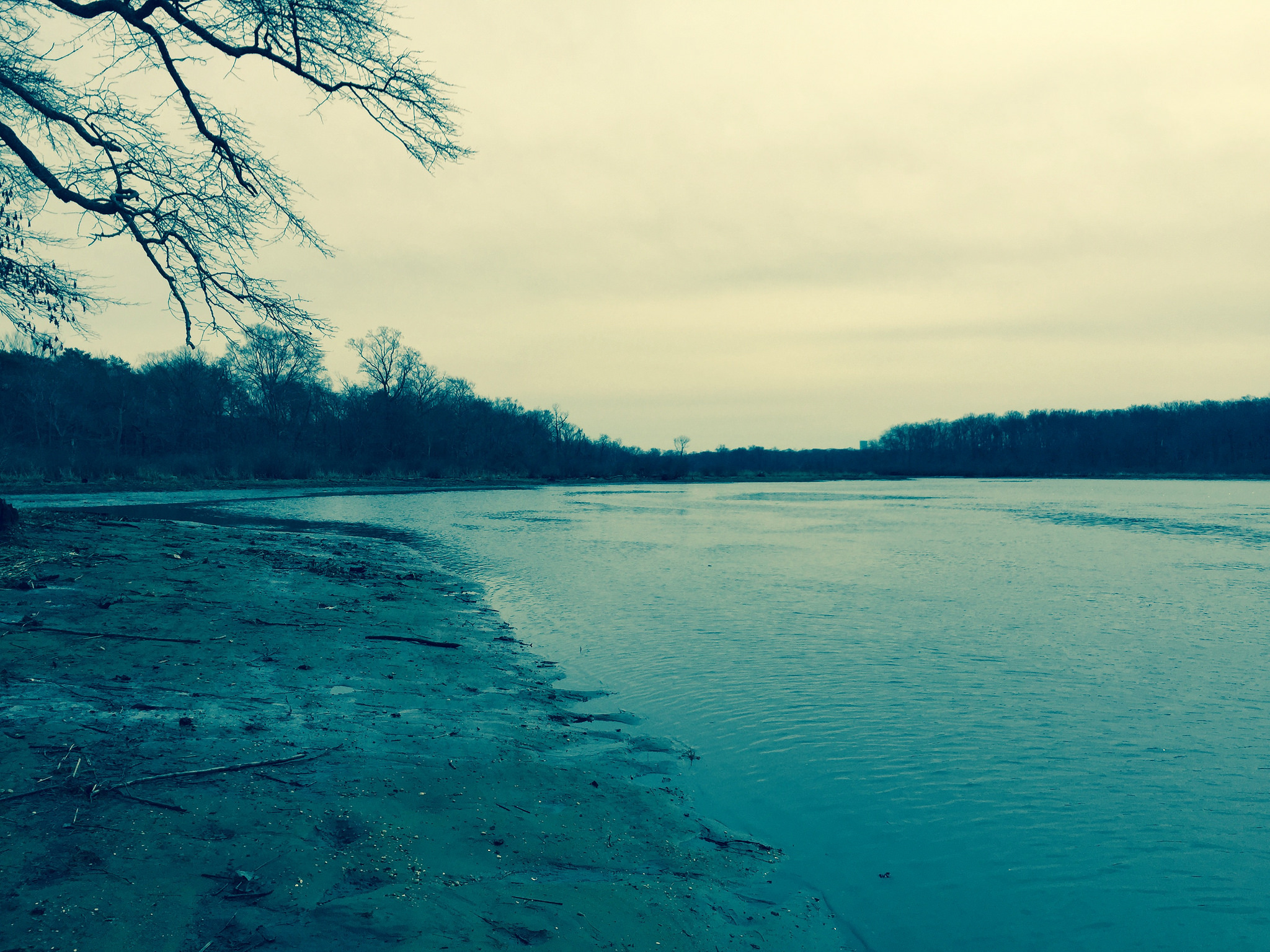
A Winter’s Day walk on white trail in Pennsylvania’s Ridley State Park. Cold with trails paved with ice and great scenic stream views. A large park with many miles of trails and must be quite a site in full bloom spring to autumn!
A Winter’s Day walk on white trail in Pennsylvania’s Ridley State Park. Cold with trails paved with ice and great scenic stream views. A large park with many miles of trails and must be quite a site in full bloom spring to autumn!
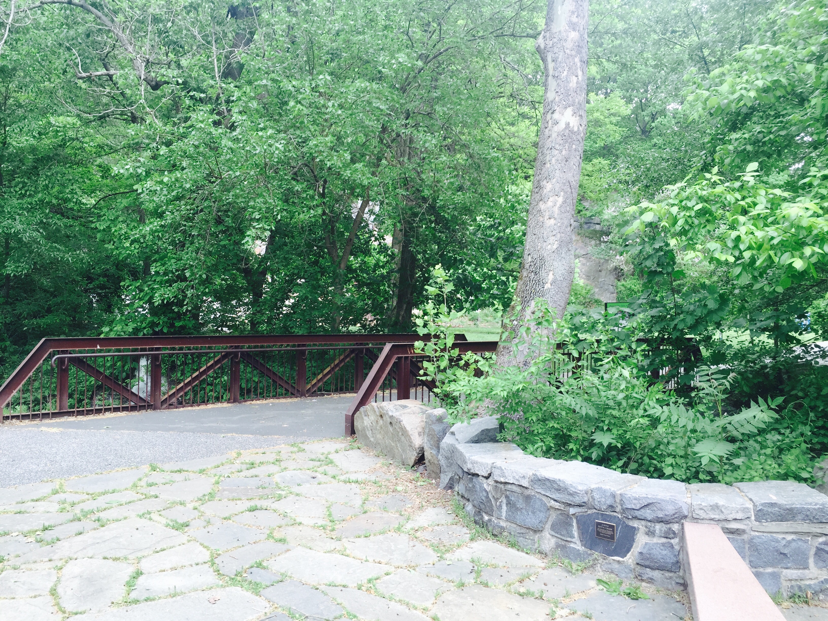
Alacopas Run on Nothern Delaware Greenway, Scenic view: Alacopas Run flowing into the Brandywine Creek and Greenway Bridge over Alacopas Run
This photo was taken in early March 2015 and has one of the new camera options on iPhone. This is on the […]
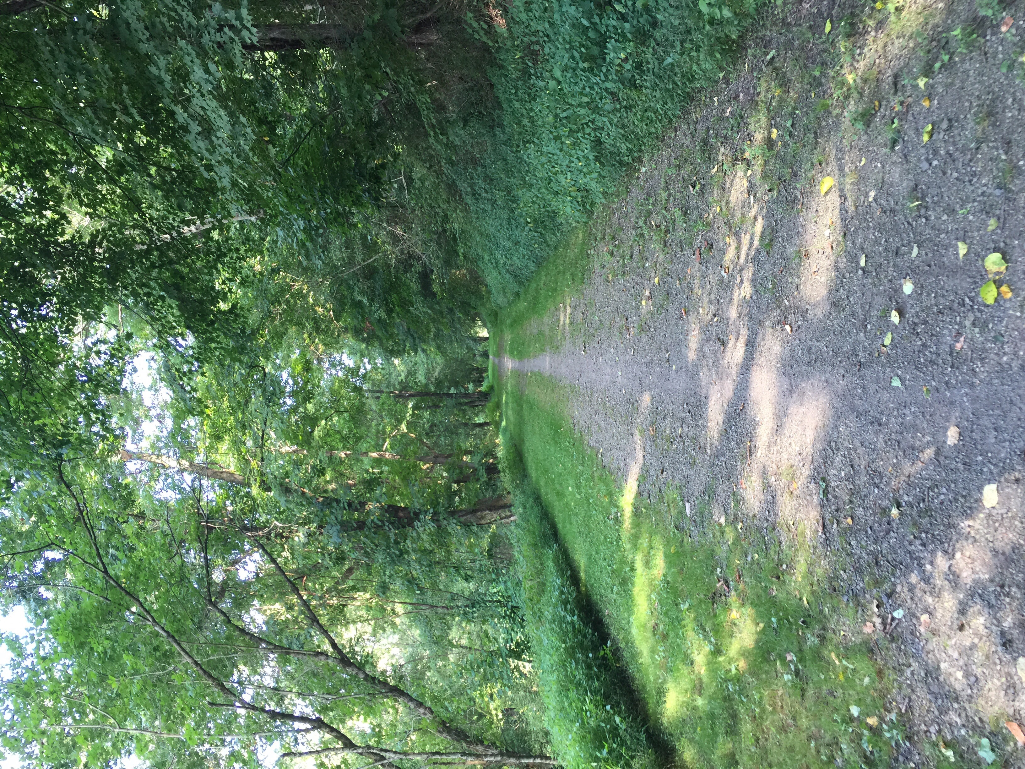
A great hike around Stroud Preserve, mostly is the “red” trail. Attempt a loop around the preserve border for a brisk walk/hike/jog!


